


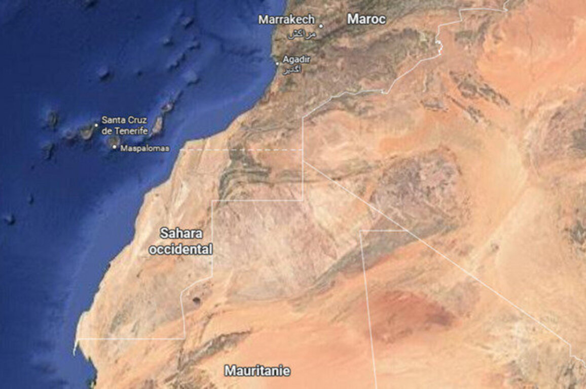
Google on Tuesday denied removing the borderline between theWestern Sahara and Morocco on its Maps application, saying that the line had never been visiblefor Moroccan users. The Western Sahara is a disputed,mineral-rich territory largely controlled by Morocco but claimed bythe pro-independence Polisario Front.
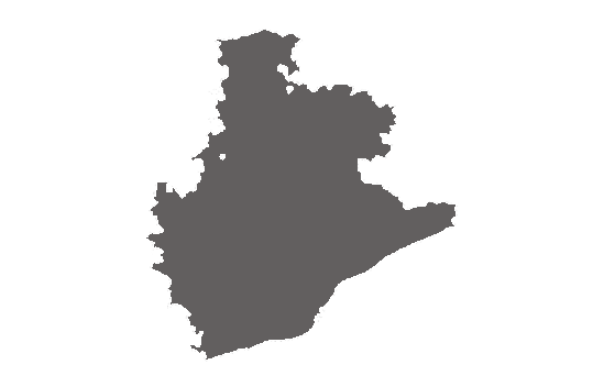
The dotted lines illustrating the border betweenWestern SaharaandMorocco, indicating the former's disputed territory status, have never been visible to people usingGoogleMaps in the latter, the company told AFP on Tuesday.
After media reports last week highlighted the discrepancy, tying it to theUN Security Councilendorsing the Moroccan autonomy plan for Western Sahara, the tech giant has released a statement saying the different border displays have always been the case.
"We have not made changes to Morocco or Western Sahara on Google Maps," a Google spokesperson said in a statement to AFP.
Read moreUN Security Council backs Moroccan plan for disputed Western Sahara
"These labels follow our longstanding policies for disputed regions. People using Maps outside of Morocco see Western Sahara and a dotted line to represent its disputed border; people using Maps in Morocco do not see Western Sahara."
Western Sahara is a vast mineral-rich former Spanish colony that is largely controlled by Morocco but has been claimed for decades by the pro-independencePolisario Front, which is supported byAlgeria.
The United Nations Security Council had previously urged Morocco, the Polisario Front, Algeria andMauritaniato resume talks to reach a broad agreement.
But, at the initiative of US PresidentDonald Trump's administration, the council's resolution supported a plan, initially presented by Rabat in 2007, in which Western Sahara would enjoy autonomy under Morocco's sole sovereignty.
(FRANCE 24 with AFP)
Originally published on France24